Earthquake of magnitude 5.0 - 23 km ESE of Pangoa, Peru
3.2 magnitude earthquake. 2 mi from Yucaipa, CA, United States
 4 mois il y a
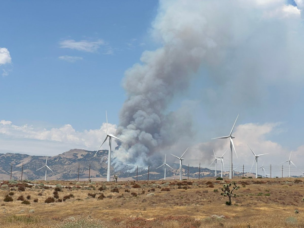
A vegetation fire in southern Kern County is threatening roads and structures, according to the Kern County Fire Department
3.2 magnitude earthquake. 2 mi from Yucaipa, CA, United States
 4 mois il y a
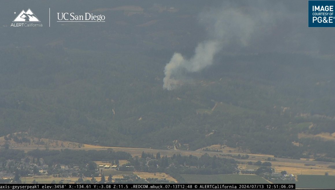
BreezeFire: Firefighters from CAL FIRE and @NoSoCoFire are responding to a vegetation fire near the 400 block of Breezewood Drive, Geyserville. The fire is approximately one acre burning at a slow rate of spread in grass, oak woodland
Hillside Fire burns about 800 acres near Congress; 88% contained
Earthquake of magnitude 5.4 - 18 km ESE of Puerto Armuelles, Panama
Earthquake of magnitude 4.8 - 199 km SW of Bengkulu, Indonesia
Earthquake of magnitude 5.6 - Kermadec Islands region
Active Vegetation Fire incident reported in Griffith Park, Los Angeles
Gemstone Fire burns 177 acres east of Kingman; 75% contained
A 100-acre brush fire briefly forced evacuations in Temecula on Friday
Earthquake of magnitude 4.6 - 26 km WSW of Atiquipa, Peru
Earthquake of magnitude 4.6 - 83 km SE of Akutan, Alaska
Earthquake of magnitude 5.3 - 127 km SSE of Itoman, Japan
Earthquake of magnitude 4.8 - 121 km WNW of Sinabang, Indonesia
An evacuation warning has been issued for the following area:Athens Avenue east to Industrial AvenueIndustrial Avenue south to Sunset Boulevard Athens Avenue south to Sunset Boulevard Road closures
VEGETATION FIRE - RPT at 1:29 p.m.- 39100 block of Pauba Rd. in Temecula. Firefighters are on scene of a 20-acre vegetation fire with light flashy fuels going up hill
The BluffFire burning in Banning has grown to 20 acres
Earthquake of magnitude 5.3 - 103 km WNW of Rabaul, Papua New Guinea
Earthquake of magnitude 4.8 - 46 km WSW of Atiquipa, Peru
Earthquake of magnitude 5.6 - 57 km E of Tarata, Peru
 4 mois il y a
'Freeman Fire' burns 26,000 acres, prompts community evacuations near Oracle
Earthquake of magnitude 5.6 - 97 km WNW of Rabaul, Papua New Guinea
Butte Fire burns about 100 acres near Apache Lake in Tonto National Forest
 4 mois il y a
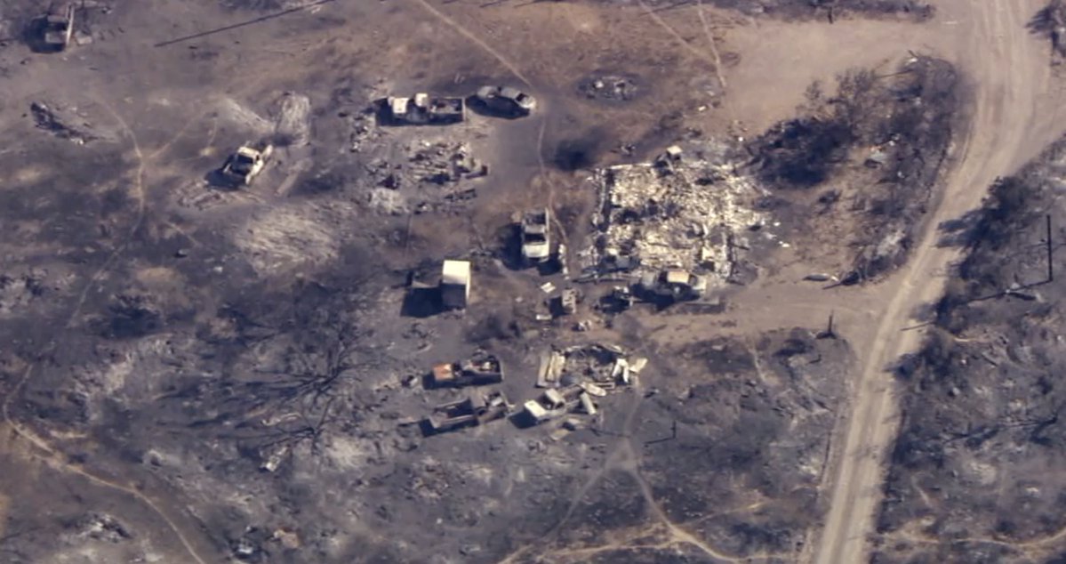
Aerial footage from the San Carlos area this morning shows multiple structures and vehicles burned to the ground. Officials say the fire has doubled in size from estimates yesterday
Earthquake of magnitude 4.9 - 238 km ESE of Baubau, Indonesia
Earthquake of magnitude 4.8 - 189 km S of Sanana, Indonesia
Earthquake of magnitude 4.8 - 147 km ENE of Bitung, Indonesia
Earthquake of magnitude 5.7 - 23 km SW of Acarí, Peru
Earthquake of magnitude 4.8 - 174 km W of Tofino, Canada
Earthquake of magnitude 4.8 - 203 km SW of Port McNeill, Canada
Hillside Fire burns 800 acres near Congress; evacuations possible
2 killed in Vermont flooding brought on by Beryl's remnants
Earthquake of magnitude 4.6 - central East Pacific Rise
A roughly 10-acre brush fire is burning in the area of Oak Park around the neighborhood of Rockfield St. and Hawthorne Dr
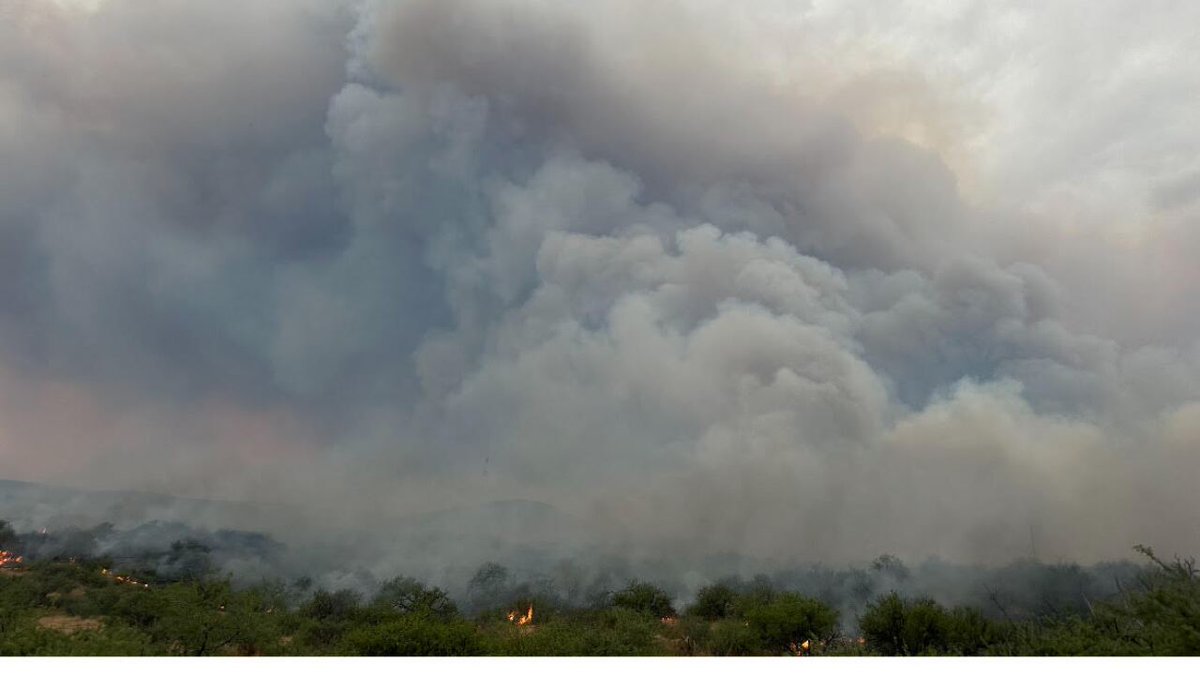
1000 ac. burning with n the Black Mountains SW of Dudleyville and NW of Oracle. Fire threatening communications tower and power lines. Fire is active on all sides
Earthquake of magnitude 5.1 - Komandorskiye Ostrova, Russia region
Earthquake of magnitude 5.0 - 113 km NNE of Hihifo, Tonga
Earthquake of magnitude 4.9 - 281 km NE of Hadibu, Yemen
Earthquake of magnitude 5.2 - central East Pacific Rise